Grand Canyon National Park Maricopa Point, Grand Canyon National Park
A Quiet Rim Balcony With a Big-Screen View
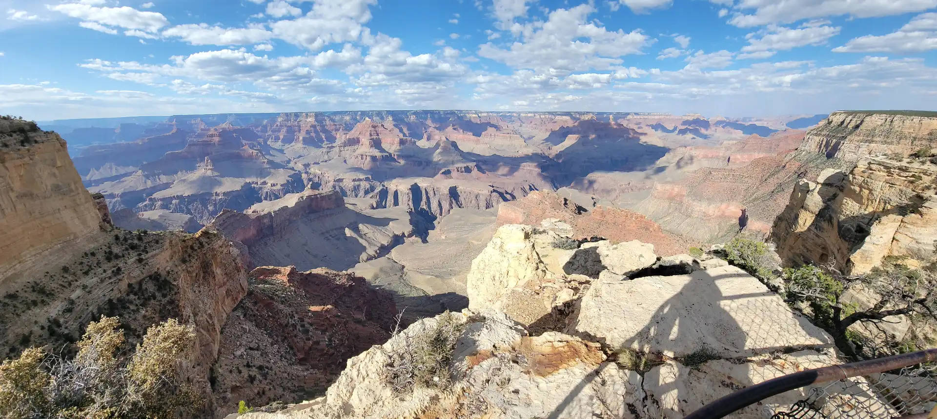
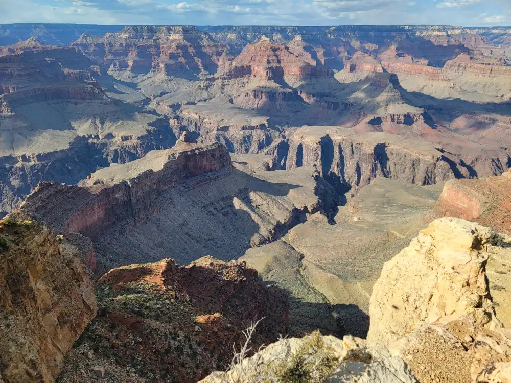
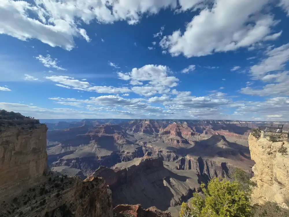
Just a 90-second walk from its shuttle stop, Maricopa Point Grand Canyon National Park juts into open air like the prow of a ship, giving you a 180-degree sweep of cliffs, temples and (with sharp eyes) your first tiny glimpse of the Colorado River far below. Because most tour buses skip it in favor of Hopi or Mohave, you’ll often have space to set up a tripod, breathe, and let the scene sink in.
Why Maricopa Point Stands Out
Panoramic Perch
The narrow limestone fin extends 100 ft beyond the main rim, so no trees or ledges block your view.
Early River Sighting
From certain angles you can spot a glittering ribbon of the Colorado—rare from South-Rim overlooks this high up.
Low Crowds
It’s the first stop on Hermit Road, yet many visitors ride on to Hopi Point, leaving Maricopa pleasantly quiet.
Getting There – Fast Facts
| How | Details | Time |
| Red Route Shuttle (Hermits Rest) | Board at Village Transfer. Maricopa is the first one-way “outbound” stop; buses run every 10–15 min Mar 1–Nov 30. (nps.gov) | ~7 min ride |
| Rim Trail Walk | 0.8 mi/1.3 km west from Hopi Point or 0.7 mi east from Powell Point on a level paved path. | 15–20 min stroll |
| Bike | Cyclists share Hermit Road all year; rack posts at the overlook entrance. | Varies |
Winter note: From Dec 1–Feb 28 you may drive Hermit Road in your own car; tiny pull-out parking fills by mid-morning.
Best Times for Photos & Light
| Time | Why Go |
| Sunrise | Low eastern light brushes Isis Temple and Cheops Pyramid in gold; almost no crowds. |
| Late-morning | Shadows recede, revealing green ribbon of Tonto Trail below. |
| Sunset | Cliffs glow rose to violet; watch last light climb Vishnu Temple in the east. |
Bring a jacket even in July—wind funnels along the point and can feel 10 °F cooler than the village.
Photo Tips at Maricopa Point
Wide Then Tight
Start with a 16–35 mm lens for the big sweep, switch to 70–200 mm to compress ridges at sunset.
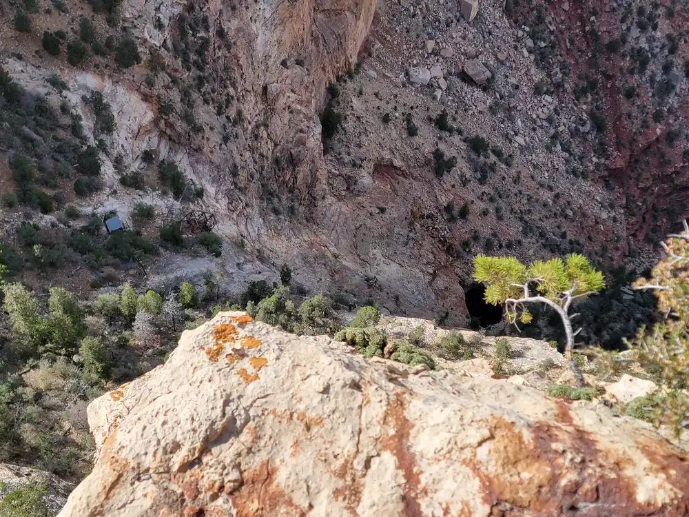
Look Down
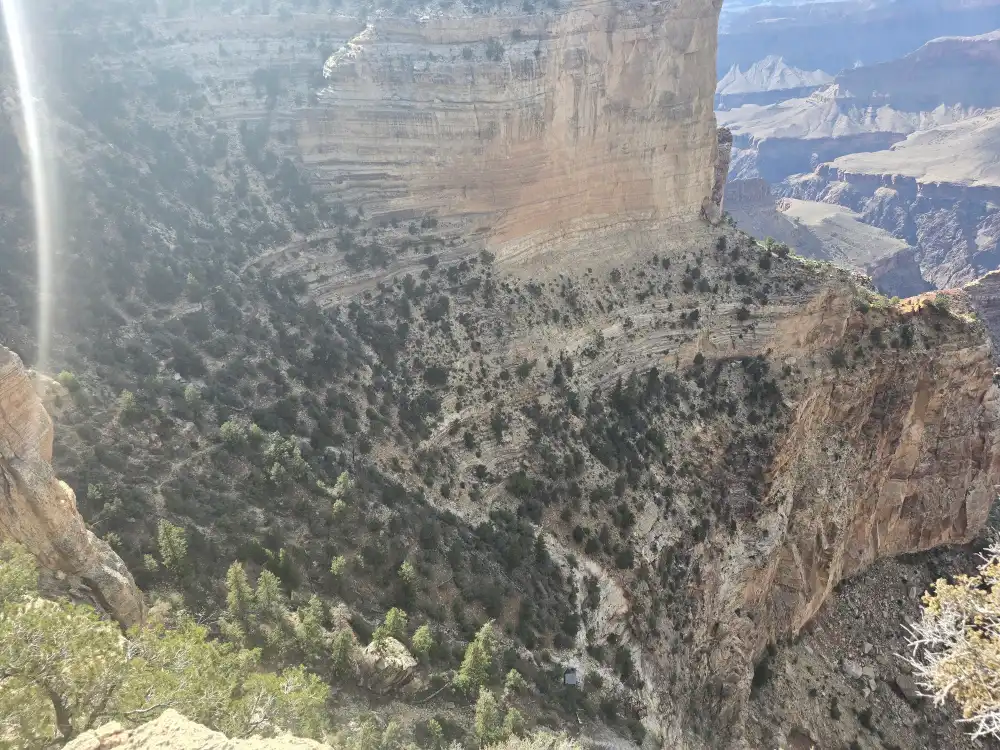
The bright seam of the Tonto Trail snakes below—include it as a leading line.
Step Back
A metal railing guards the tip; move a few yards inland to frame foreground junipers against layered cliffs.
Stay Late
After civil twilight most visitors leave, but desert glow lingers—perfect for long-exposure blue-hour photos.
Facilities & Accessibility
Restrooms
None at the overlook; closest are 0.8 mi west at Hopi Point.
Water
Fill bottles at Grand Canyon Village before boarding the shuttle.
Surface
Paved path to the railing is wheelchair-friendly; final 30 ft is hard-packed gravel.
Cell Signal
Spotty. Download our map bundle before leaving the village.
Mather Point vs Maricopa Point – Quick Comparison
| Feature | Maricopa Point | Mather Point Grand Canyon |
| Access | Shuttle or 0.7 mi walk on Hermit Road | 5-min walk from Visitor Center & main parking lots |
| Crowds | Low–moderate | High (first-look spot for most visitors) (nps.gov) |
| River view | Partial, tiny ribbon | Occasional distant glimpse |
| Facilities | No restrooms or water | Restrooms, amphitheater, rangers (nps.gov) |
| Best for | Quiet panoramas, photography | First-time wow moment, accessibility |
Safety & Etiquette
- Stay behind guardrails—cliff edges fracture unpredictably.
- Give rim-trail cyclists two feet of clearance.
- Pack out all trash; ravens raid open bags.
- Lightning loves exposed points—seek the shuttle shelter if thunder rumbles.
Final Nudge – Why Click for More?
Want a printable lighting chart, a 360° virtual preview, and exact shuttle timetables? Tap into our extended Maricopa Point guide for downloadable maps, seasonal sunrise tables and a gallery of hi-res images you can use to plan every shot. When you finally step onto that narrow point and the canyon opens around you, you’ll feel ready—and the view will still blow your mind.