Grand Canyon National Park Trails: Walk the Wonder One Step at a Time
The grand canyon national park trails on the South Rim turn a look-out trip into a living adventure. Rim-top strolls, half-day descents, or rugged back-country plunges—there’s a path for every age and fitness level. Use this guide to pick the trail that fits you, pack smart, and go feel the canyon under your feet.
Quick-Look Trail Cheat Sheet
| Trail | Round-Trip Distance | Elevation Change* | Difficulty | Best For |
| Rim Trail | up to 13 mi / 21 km (do any part) | <200 ft | Easy | Families, wheelchair users, sunset walks (nps.gov) |
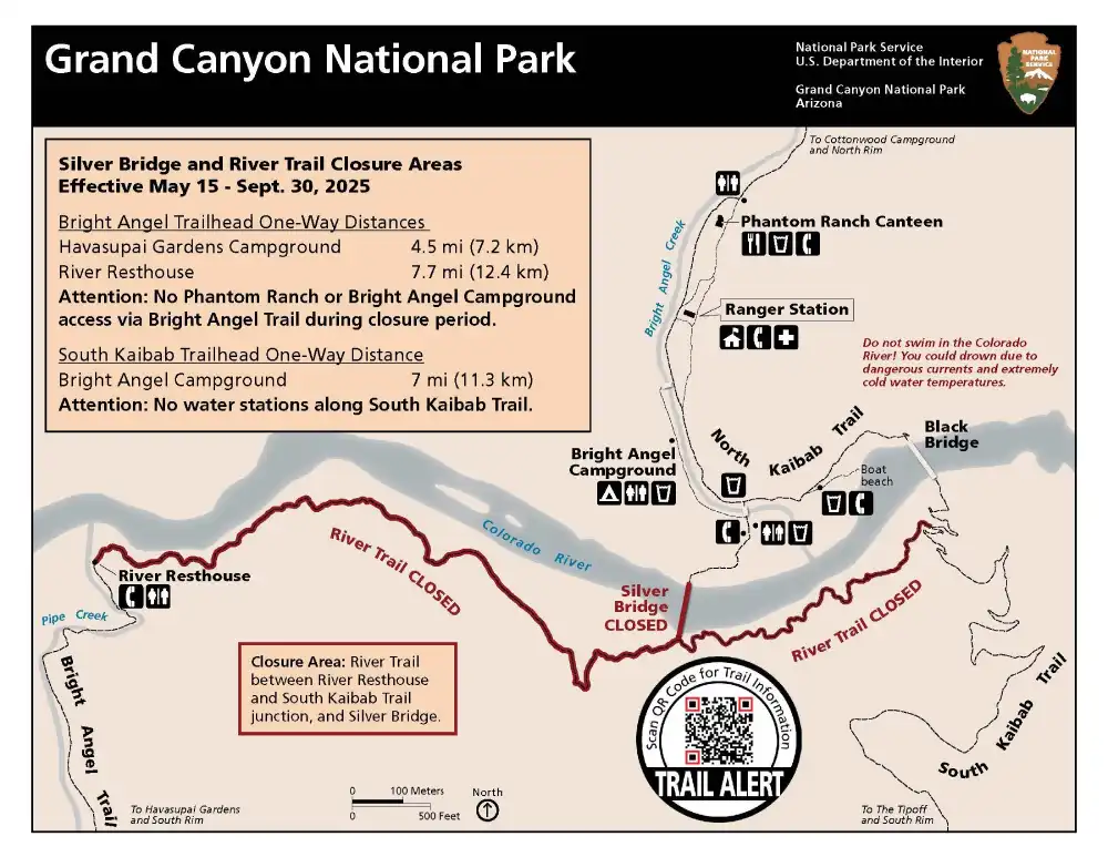
| Bright Angel | 3–19 mi choices | 1,120 ft to 4,380 ft | Moderate–Strenuous | Shade, water stops, classic canyon views (nps.gov, alltrails.com) |
| South Kaibab | 1.8–12 mi choices | 600 ft to 4,860 ft | Strenuous | Sweeping ridgelines, sunrise photos (alltrails.com) |
| Hermit Trail | 9–17 mi | 2,000 ft+ | Very Strenuous | Solitude, back-country camps (nps.gov, alltrails.com) |
| Grandview Trail | 6–9 mi | 2,600 ft | Very Strenuous | Historic mine ruins, narrow ledges (nps.gov), |
*Elevation is for the one-way descent. Remember you must climb back up—double your uphill time in summer.
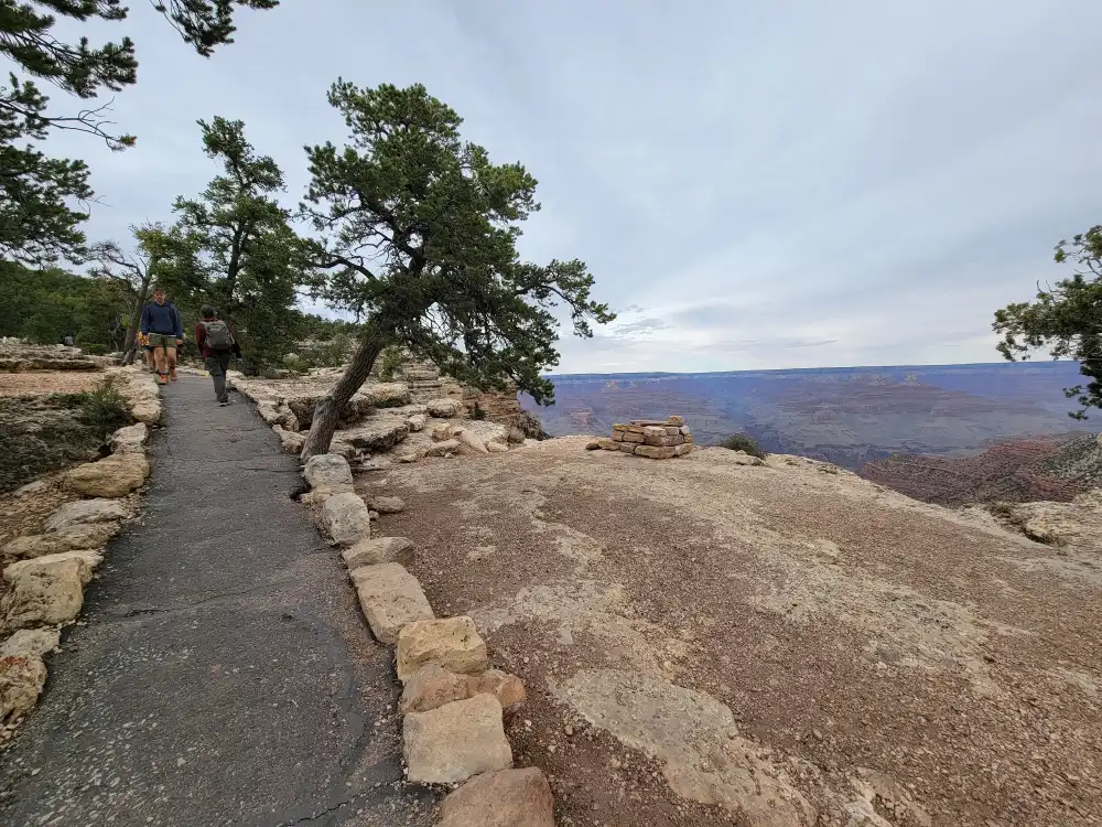
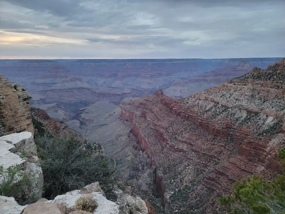
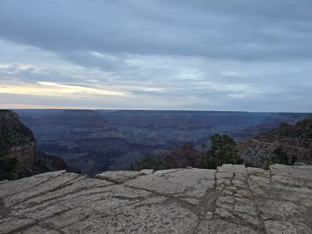
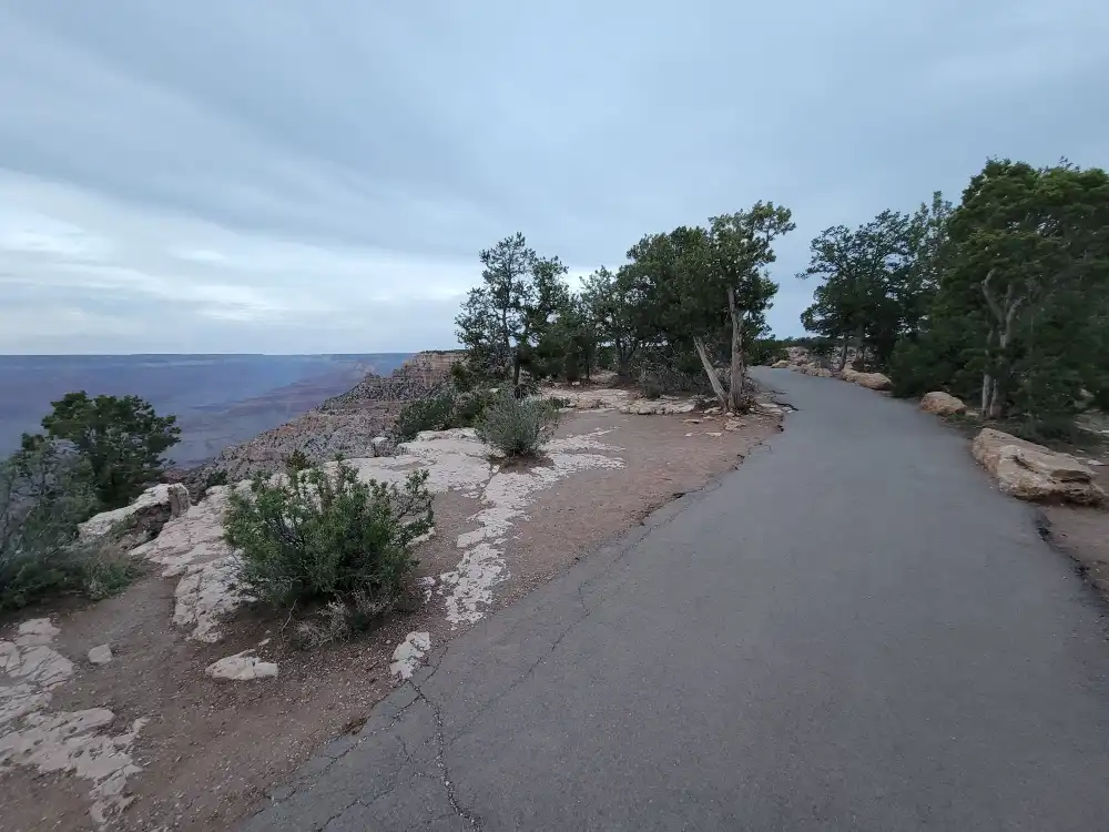
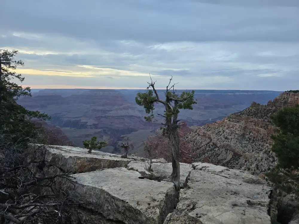
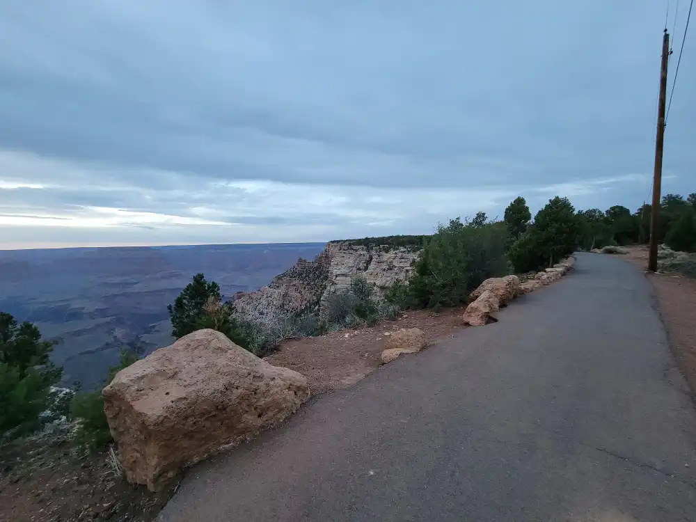
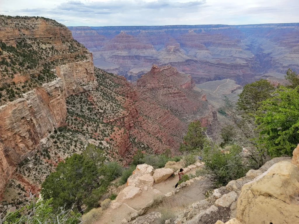
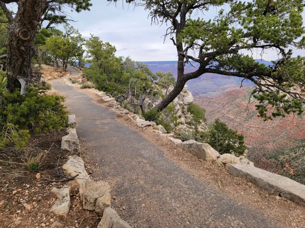
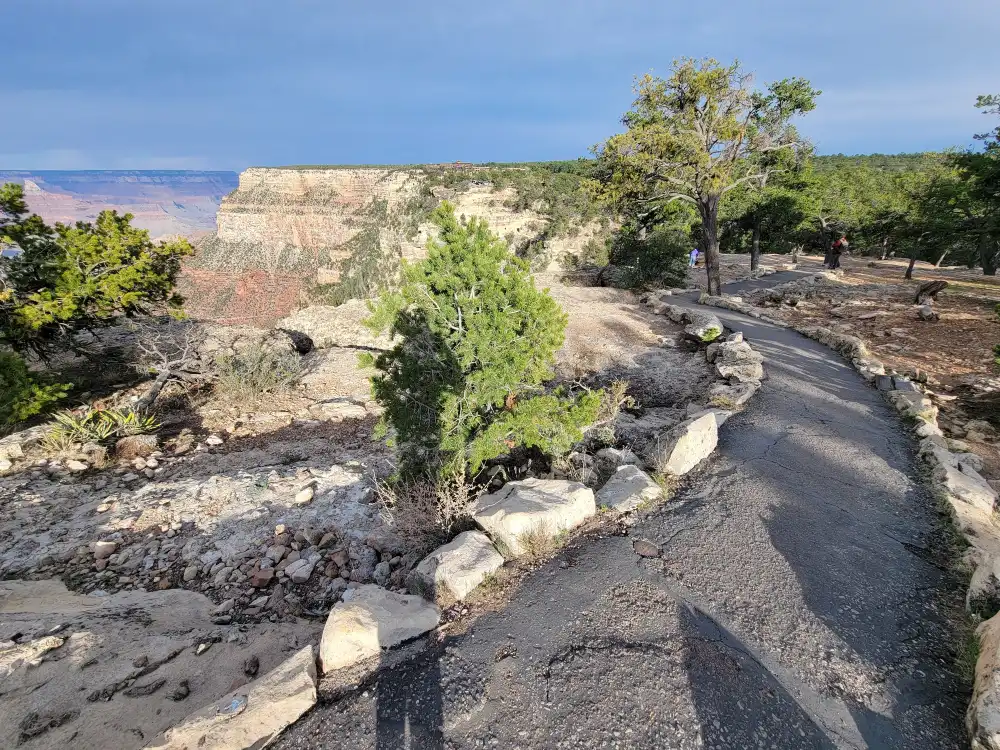
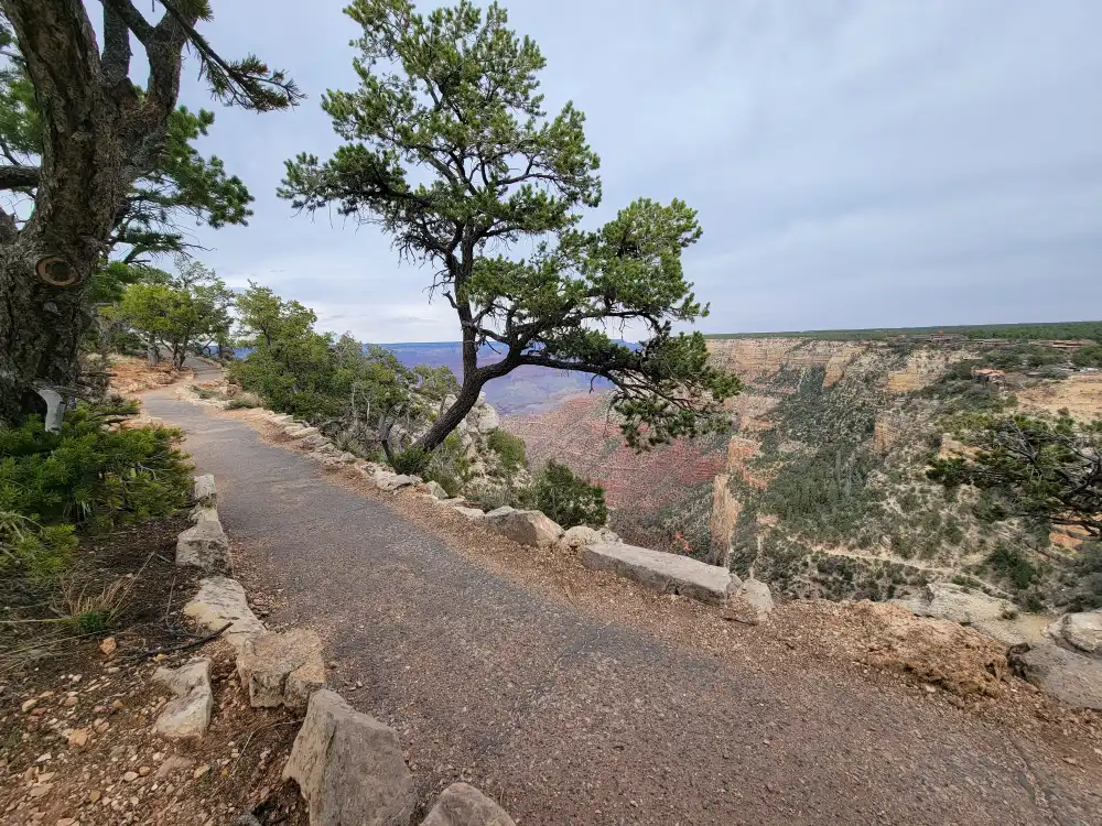
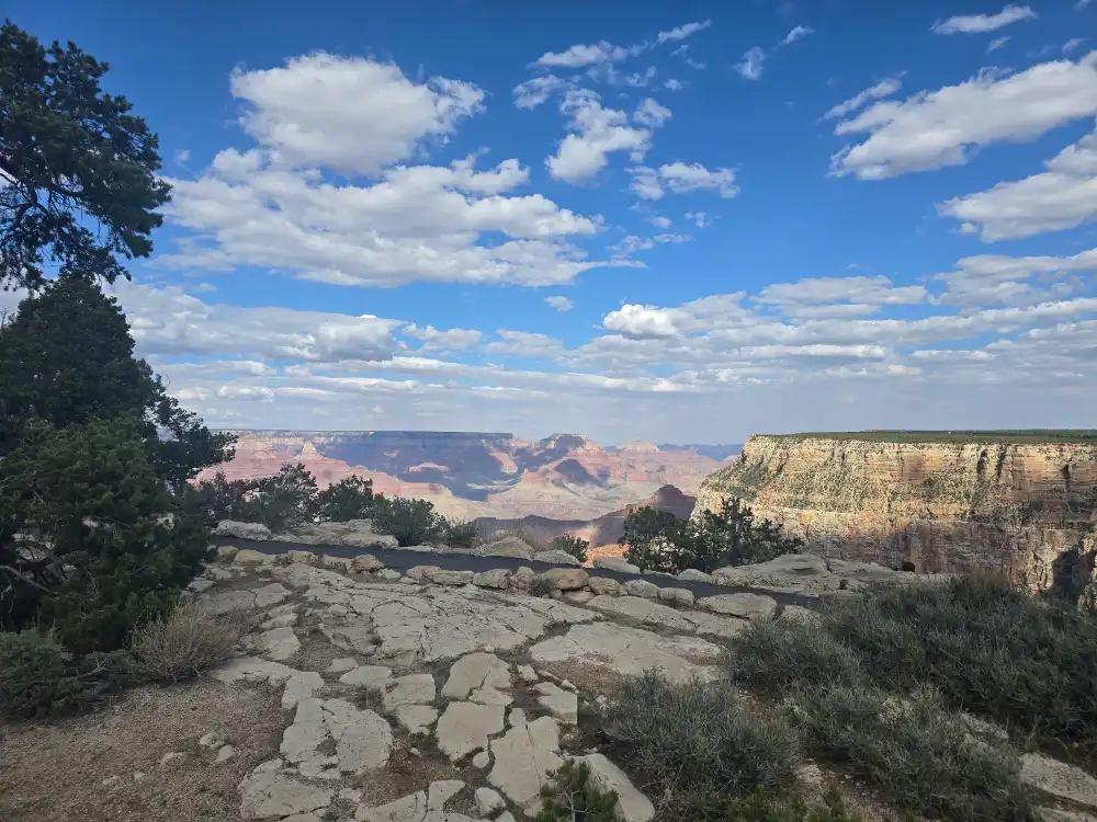
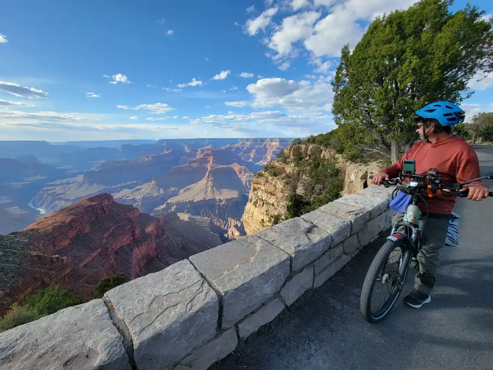
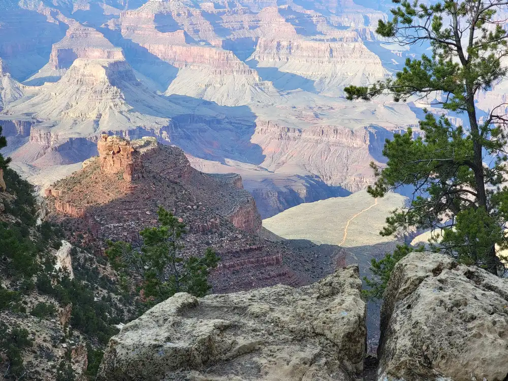
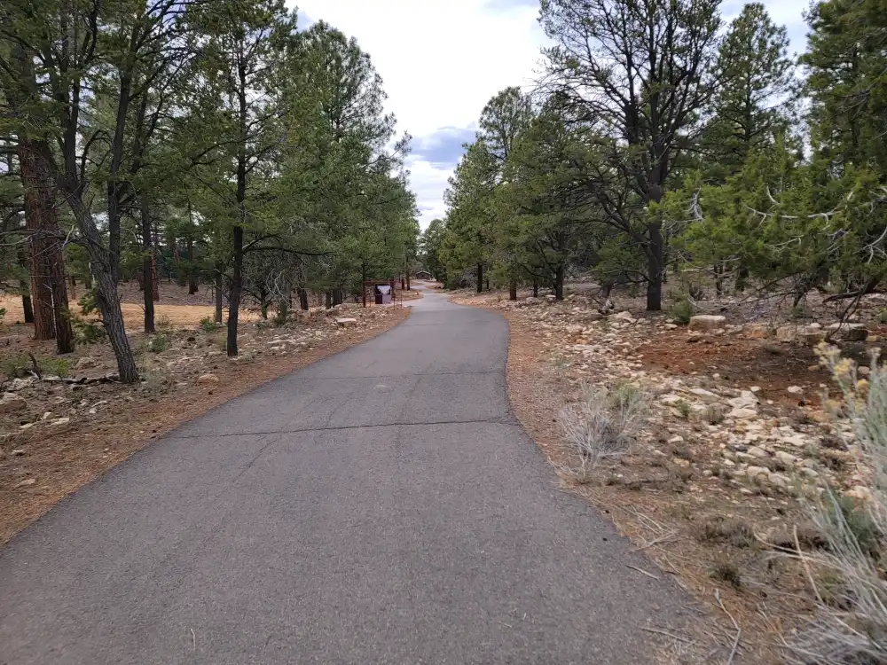
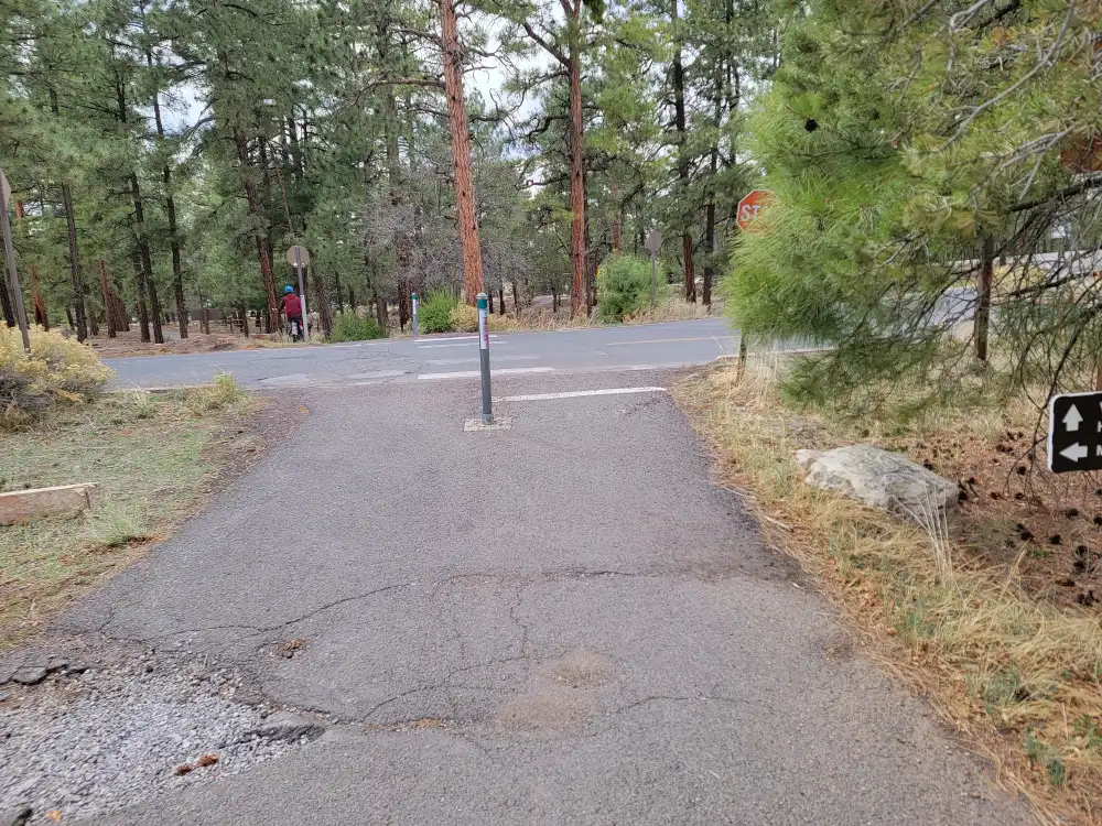
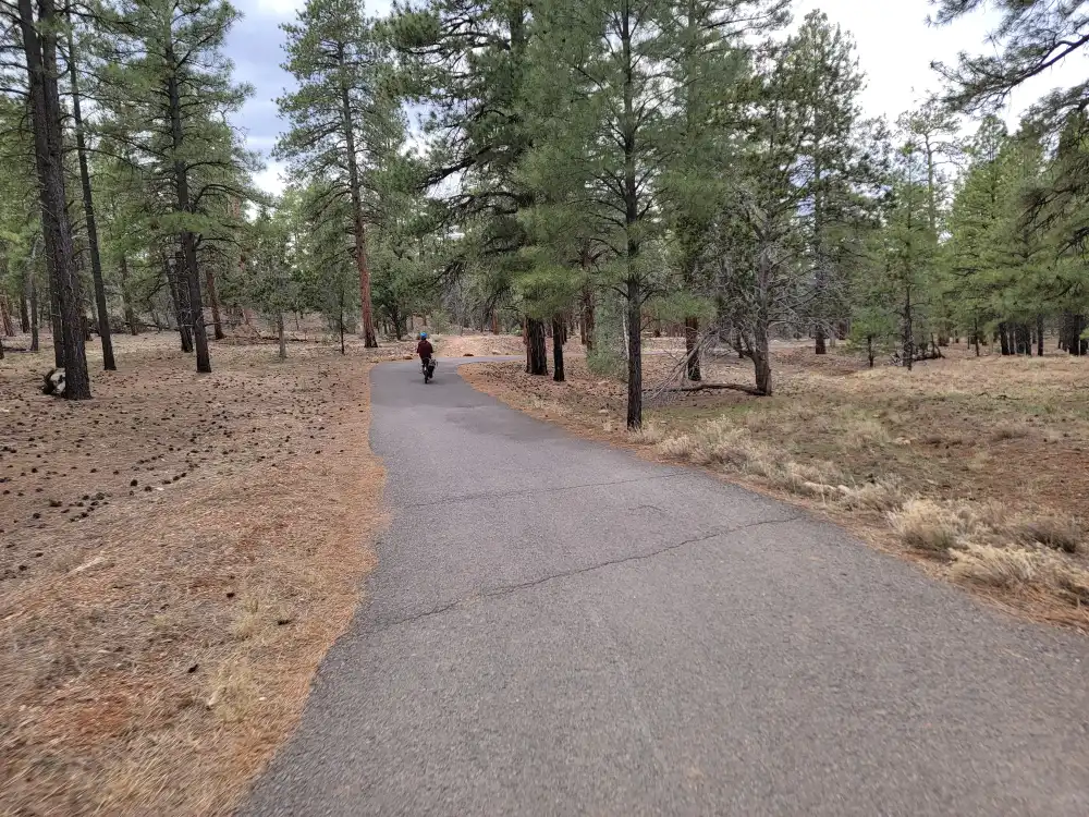
Rim Trail Grand Canyon – Easy Miles, Endless Views
The rim trail grand canyon is a mostly paved path that hugs the edge from South Kaibab Trailhead to Hermits Rest—about 13 miles (21 km) in total. Shuttle stops every mile mean you can hike a section, ride a bus, then walk another stretch later. Highlights include:
- Mather Point to Yavapai Point (0.7 mi) – Sunrise magic with geology exhibits.
- Trail of Time (1.7 mi) – Bronze markers show Earth’s layers as you walk.
- Mohave to Hopi Point (1.1 mi) – Sunset hotspot; watch shadows race the river.
The grade is flat, leashed pets are welcome, and wheelchairs can navigate long paved portions. It’s the perfect warm-up hike after a long drive
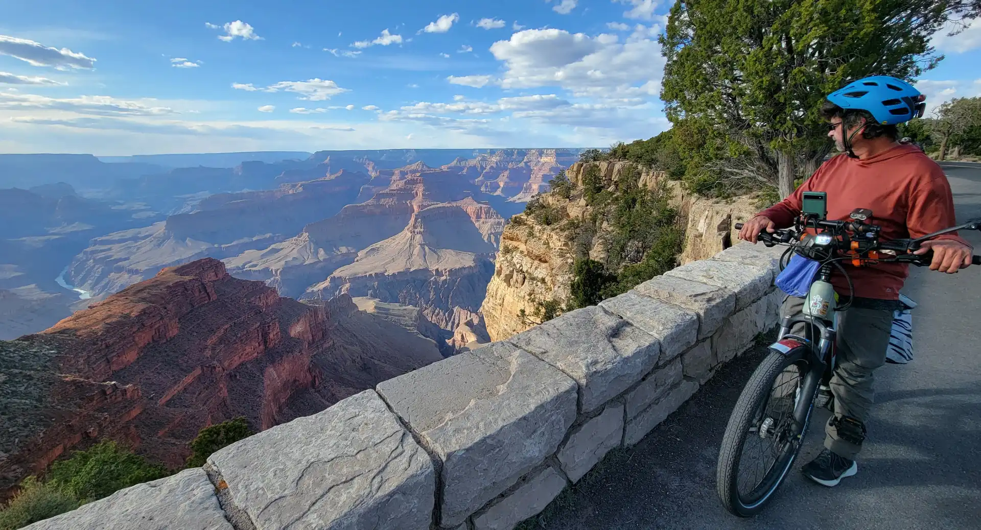
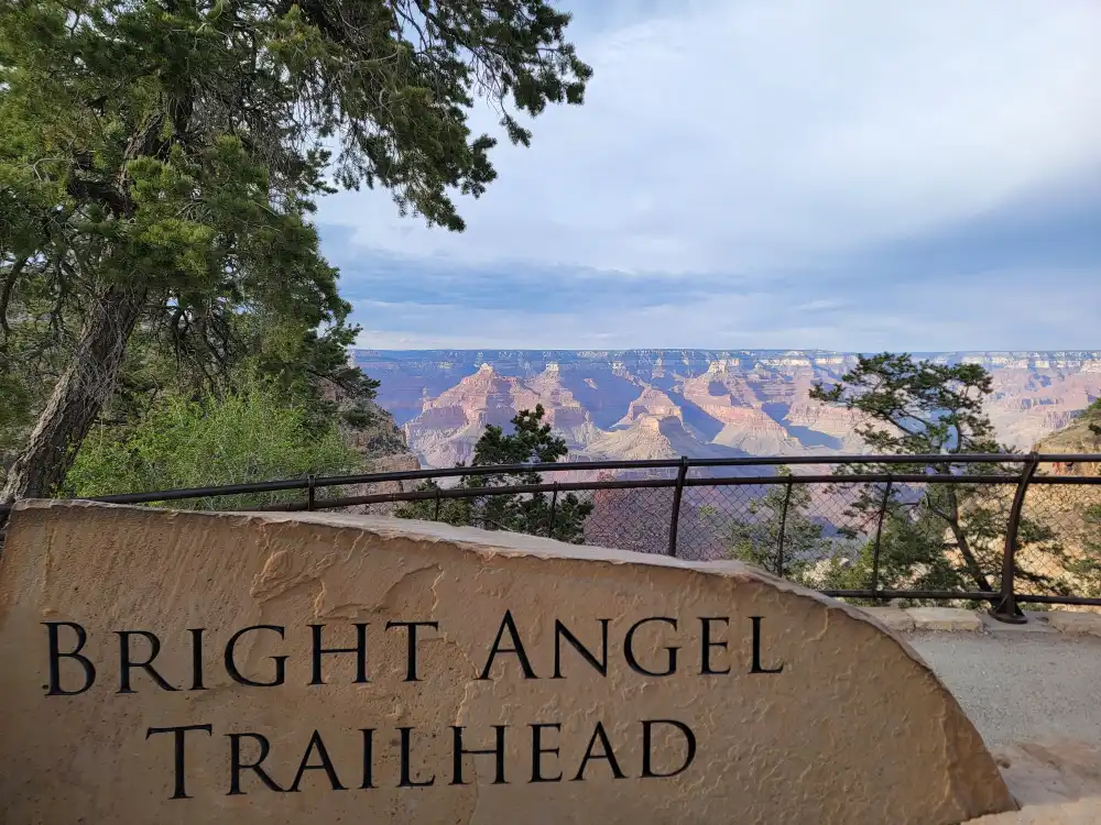
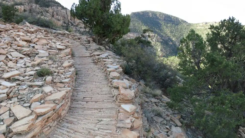
Bright Angel Trail Grand Canyon – The Classic Corridor
No South Rim list is complete without the bright angel trail grand canyon. Starting beside Bright Angel Lodge, the corridor drops through 2 billion years of rock in a series of dusty switchbacks. Choose your turnaround:
| Target | Round-Trip | Typical Time | Why Stop Here |
| 1.5-Mile Resthouse | 3 mi / 4.8 km | 2–3 hrs | First taste of inner-canyon air; shade & toilets |
| 3-Mile Resthouse | 6 mi / 9.6 km | 4–5 hrs | Big view into Pipe Creek Canyon |
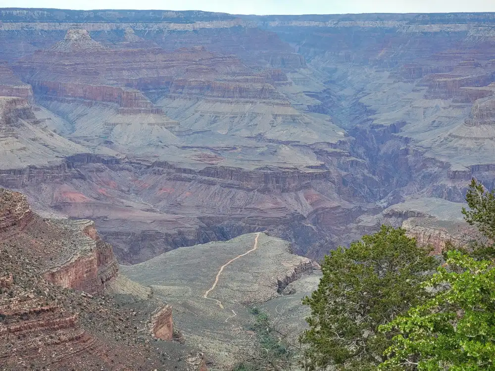
| Havasupai Gardens | 9 mi / 14.5 km | 6–8 hrs | Cottonwood oasis, water year-round |
| Plateau Point | 12 mi / 19 km | 7–9 hrs | Sheer drop to the Colorado River |
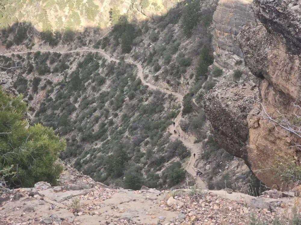
Water taps run seasonally; check the visitor center before you go. Pack salty snacks, start at dawn in summer, and plan to climb out in double the time you hiked down.
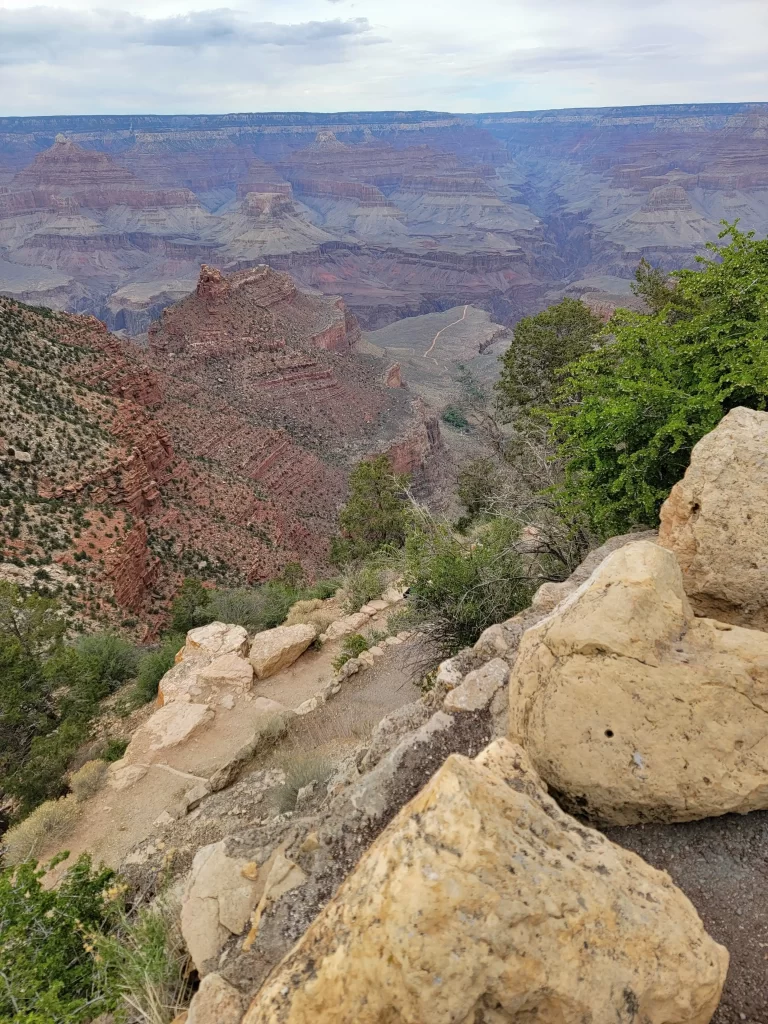
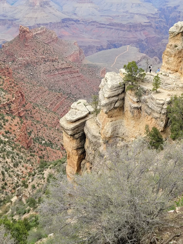
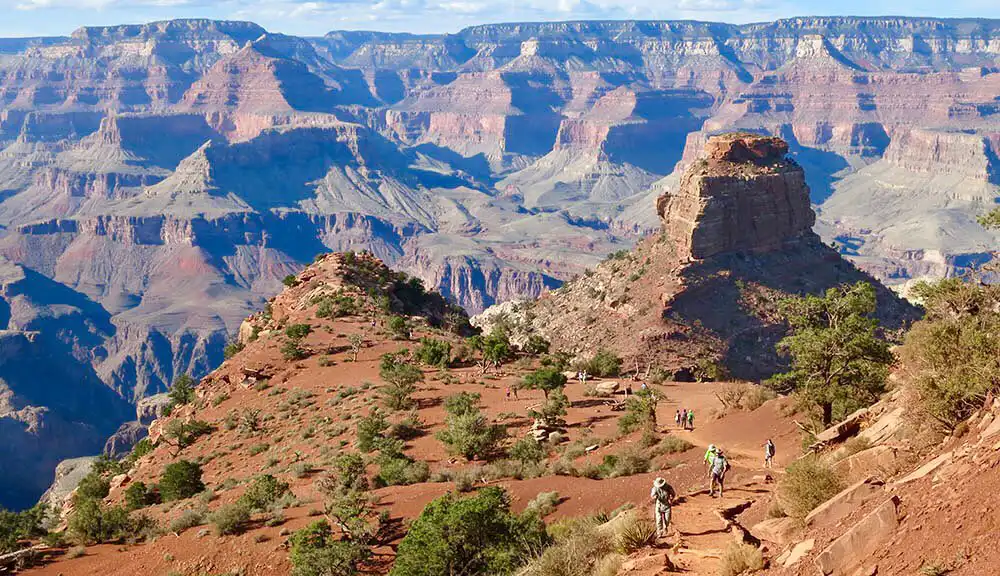
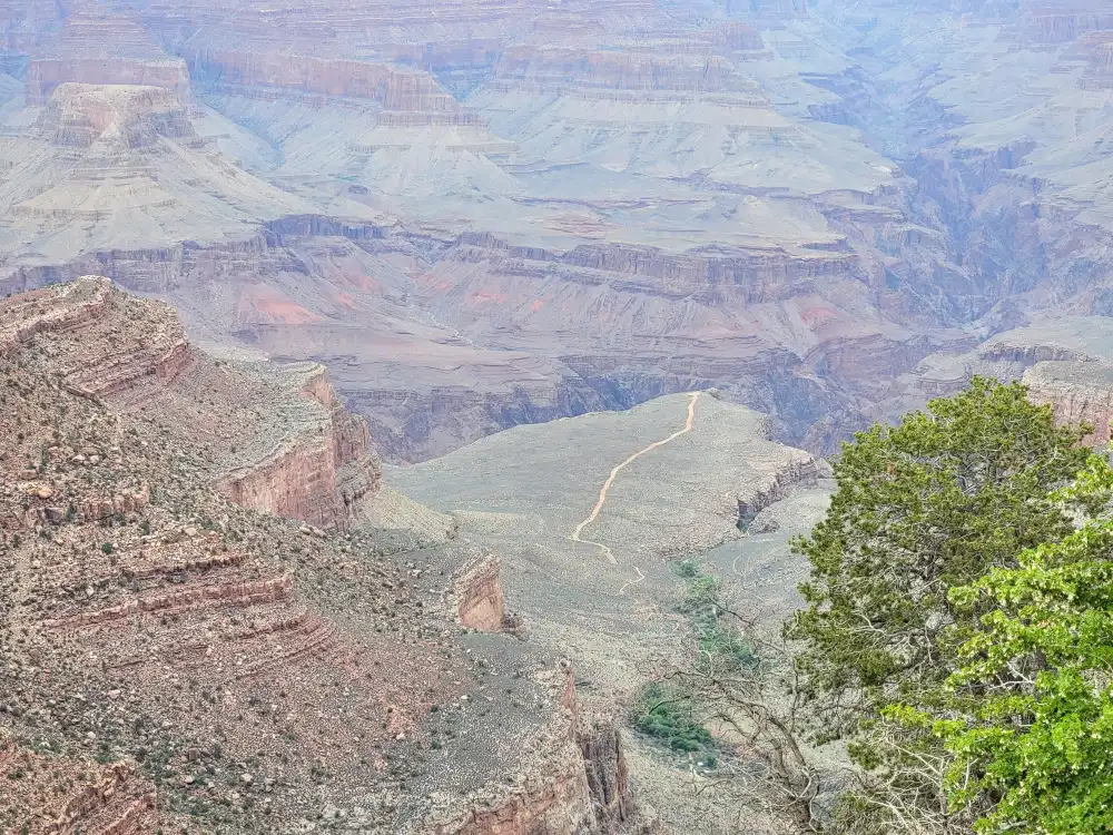
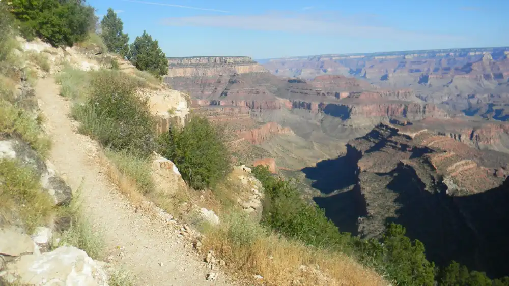
South Kaibab Trail – Sunrise on a Ridge
If you want wide-angle photos fast, ride the orange shuttle to South Kaibab Trailhead and follow the ridge.
Ooh-Aah Point
1.8 mi (2.9 km) round-trip; 600 ft down; all payoff.
Cedar Ridge Range
3 mi (4.8 km) round-trip; picnic tables & restroom.
Skeleton Point
6 mi (9.6 km) round-trip; first river glimpse
There’s no water on this trail—carry at least 3 liters per person. Mid-day sun is brutal; sunrise departures are legendary
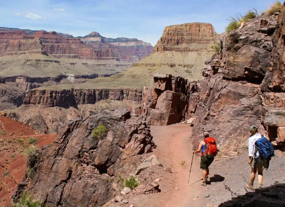
Hermit Trail – Quiet Stone and Steep Switchbacks
Starting at Hermits Rest, the unpaved Hermit Trail drops 2,000 ft (610 m) in the first 2.5 mi then drifts through canyon layers toward the river. Rockslides, loose cobbles, and near-vertical exposure mean this route is for experienced hikers only—yet solitude and red-wall grandeur reward every hard step. Carry 1 gal (4 L) of water each and file a hike plan with a friend.
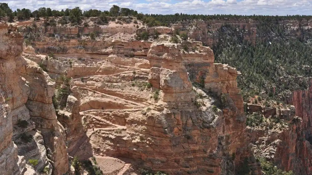
Grandview Trail – History, Mines, and Mesa Views
Blasted in 1890 for copper prospectors, the narrow Grandview Trail dives off Desert View Drive via cobbled steps and wooden cribbing. In 3 mi (4.8 km) it reaches Horseshoe Mesa, where old mine shafts and yucca-fringed campsites overlook the inner gorge. Expect thigh-burning climbs back out and possible ice on shaded ledges in April. Rope handrails help, but caution is key.
Trail Etiquette and Safety Basics

Down is optional; up is mandatory.
Turn around before you’re tired

Carry water & electrolytes.
One liter per hour in heat.

Wear traction
Grippy shoes beat flip-flops; micro-spikes help in winter.

Share the path
Uphill hikers and mule trains have right-of-way.

Pack it out
Even orange peels and tissue—ravens will scatter trash.
Building a Two-Day Trail Sampler
| Day | Morning | Afternoon |
| Sat | Rim Trail shuttle-hike (e.g., Powell ↔ Hopi) | Bright Angel to 1.5-Mile Resthouse |
| Sun | Sunrise on South Kaibab to Cedar Ridge | Easy Hermit Trail stroll to Waldron Basin viewpoint |
Add extra nights to tackle Hermit or Grandview when legs feel ready.
See the Trails for Yourself
Maps, numbers, and photos help, but only your own boots will tell the story. Choose a trail that fits your time and fitness, start early, and feel the canyon change color around you. The paths are waiting—step out and let the grand canyon national park trails turn a view into an experience you’ll remember for life
Greenway Trail
Kaibab Greenway Trail